
The real time collection of data and analysis is critical for today’s world.The mere data collection and the server processing will delay critical time to take the necessary actions. On the real time detection and identification helps in averting the catastrophic after effects.For large scale data collection the drones are mainly used.The mere data collection and transfer takes hours and hours of time.

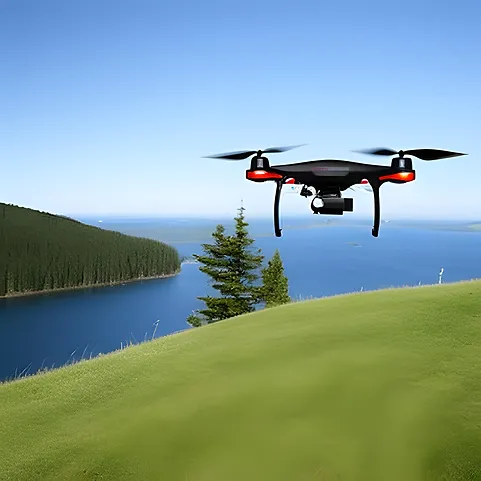
Drone data collection and analysis involve using unmanned aerial vehicles (UAVs), commonly known as drones, to capture images, videos, and other types of data from the air. This data can then be analysed to gain insights and make informed decisions in various industries, including agriculture, construction, mining, surveying, and more.
The data collected by drones can be analysed using various software tools, including machine learning algorithms, computer vision, and geographic information systems (GIS) to provide insights and create maps, models, and other visualisations.
Lot of critical time can be saved if the data is analysed and the relevant information is extracted. The anomalies in the specified area are monitored and analysed. The on chip processing of data becomes boon in such scenarios. The artificial intelligence can be used for examining the situation and preclude fatal after effects. The hardware support must be powerful enough to handle such high computational algorithms with less power consumption.
Here are some steps involved in drone data collection and analysis:
- Planning: Determine the objective of the drone mission and identify the area to be covered. Plan the flight path and the altitude required to capture the required data.
- Data collection: Launch the drone and collect data using onboard sensors such as cameras, Lidar, or multispectral sensors.
- Data processing: Process the data using specialised software to create maps, 3D models, and other visualisations.
- Analysis: Analyse the data using machine learning, computer vision, or other analytical tools to gain insights.
- Reporting: Generate reports and visualisations to communicate the results of the analysis to stakeholders.
Drone data collection and analysis have numerous benefits, including increased efficiency, improved accuracy, and reduced costs. The technology can be used to improve crop yields, identify construction site issues, monitor wildlife populations, and more. However, it is essential to ensure that drone missions comply with local regulations and safety standards to prevent accidents and legal issues.

